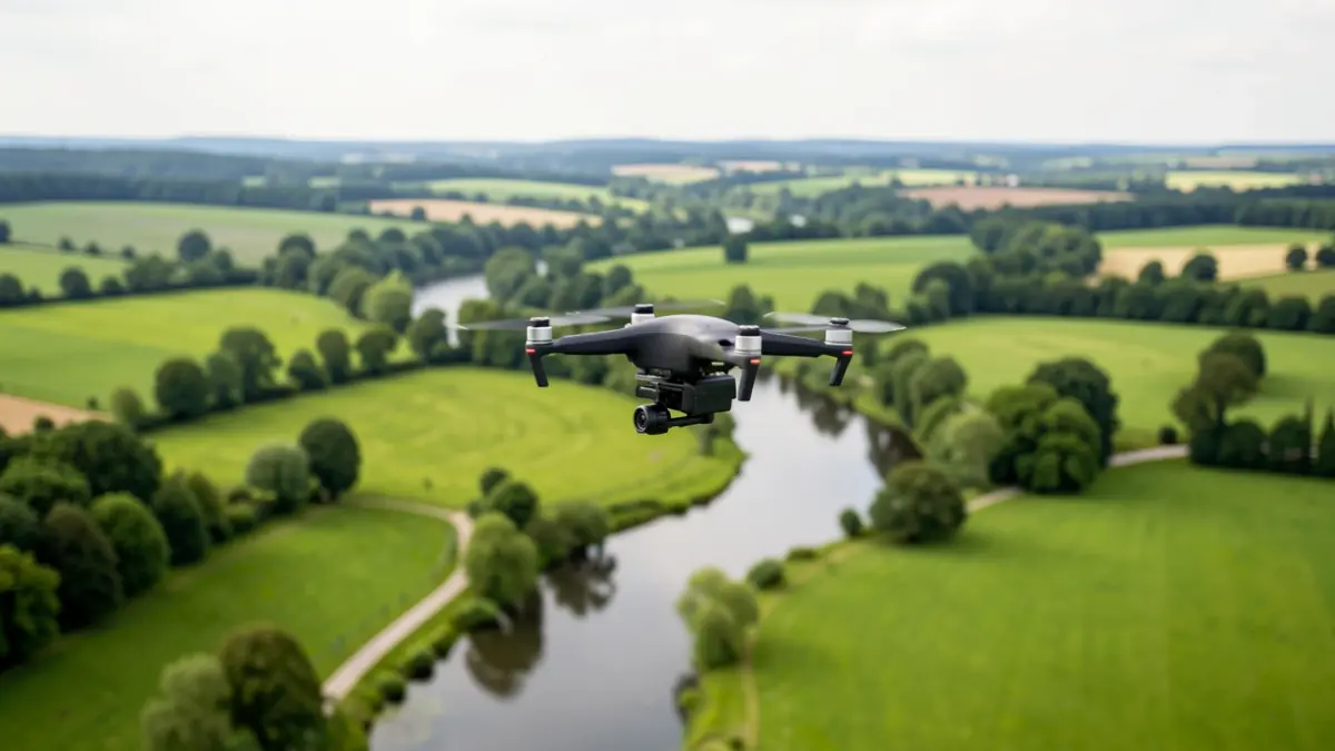
For several years, the Orge Syndicate has utilized Geographic Information Systems (GIS) for better understanding and preservation of its territory. Three years ago, this expertise was enhanced with the integration of a professional drone.
Piloted by Sophie A.-C., the Syndicate's certified geomatician, this device enables precise and rapid aerial surveys. The captured images offer a complementary view of the terrain, crucial for measuring distances, monitoring the evolution of sensitive sites like flood zones, and supporting studies on waterways and natural spaces.
The drone can also produce orthophotos, aerial images automatically assembled for highly accurate cartographic representation. Furthermore, with the new DJI Matrice 4E model, the Syndicate can now generate digital terrain models (DTM) to analyze reliefs and refine technical studies.
Prior to acquiring this equipment, the Syndicate relied on an external partner for aerial photography. While valuable, this solution sometimes lacked responsiveness. The investment in dedicated drone equipment and Sophie A.-C.'s training have allowed the Syndicate to gain autonomy and enhance its field intervention capabilities.
This technology supports various missions, including flood prevention, natural environment monitoring, topographic surveys, and observation of hard-to-reach areas. The collected data enriches the Syndicate's mapping databases and improves overall territorial knowledge, while also showcasing the valley's landscapes and the Syndicate's projects to the public.
Professional drone piloting is a highly regulated activity, requiring specific training and adherence to numerous legal obligations. Each mission involves meticulous preparation and adapted declarations based on the flight zones. This organizational, safety, and analytical work behind each aerial image provides a unique perspective of the territory, invaluable for understanding and managing the valley's natural spaces and waterways.