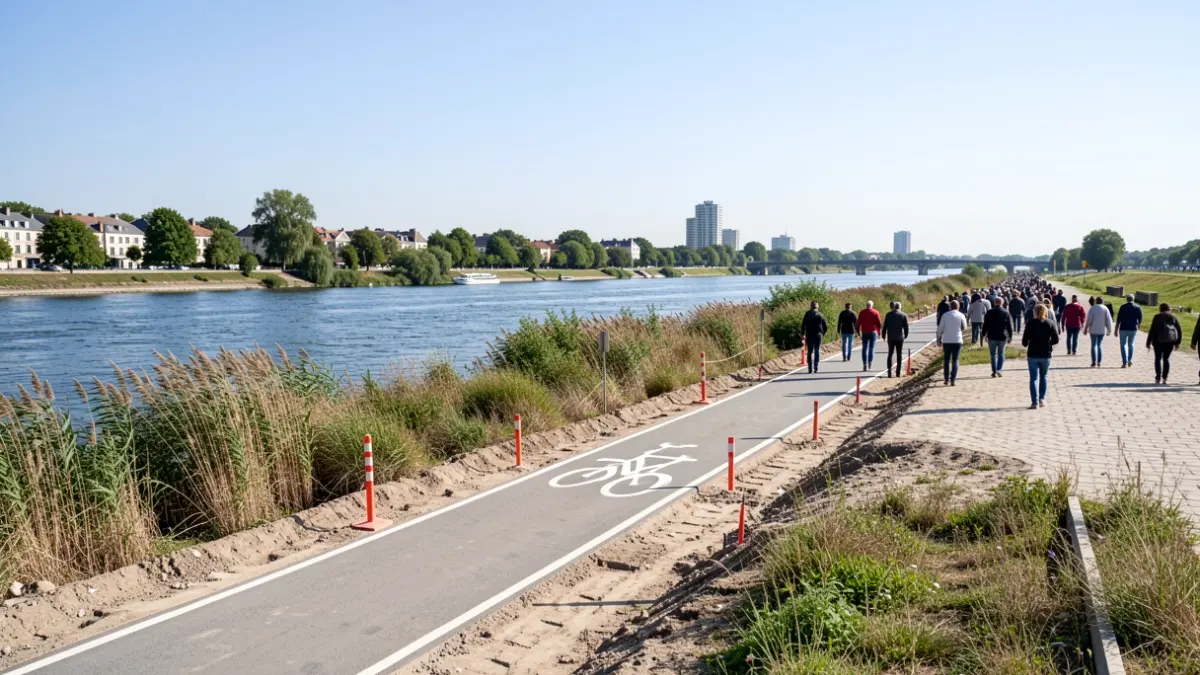
A new phase of the major construction project on the Oise riverbanks, between Pontoise and Cergy, will soon begin. The goal is to bridge a gap in the pedestrian and cycling path, and ultimately connect the 35 kilometers of riverbanks in the Cergy-Pontoise territory.
« This new stage is part of the program initiated during the previous term, » recalls Jean-Guillaume Carone, councilor for the Communauté d’agglomération de Cergy-Pontoise responsible for the valorization and development of the Oise riverbanks.
The operation will cover 3.3 kilometers of riverbanks, connecting Port-Cergy to Les Bocages on the Cergy side, and the Larris neighborhood on the Pontoise side. The route will run along the Bois de Cergy. The main challenge is to eliminate a current discontinuity where walkers and cyclists have to use the road.
The work, expected to last about a year, will take environmental constraints into account, particularly nesting periods. The paths will retain a natural appearance, made of compacted gravel, generally between 1 and 1.50 meters wide, without being paved. Clearing and grubbing operations are planned in private or wooded areas.
For cyclists, 1.50-meter-wide cycle lanes will be created on the Boulevard des Maraîchers. In the Parc des Larris, a 3-meter cycle path and a 4-meter shared greenway are planned. Paving stones will be used to slow down cyclists in areas shared with pedestrians.
The project also includes seven landscaped rest areas to mark access points, create pause spaces, and strengthen the connection with the Oise. Visual openings towards the water will be created or reinforced, while preserving the riparian vegetation, important for biodiversity. Six clearings of approximately 15 m² and three of approximately 10 m² will be made.
The installed furniture will favor natural materials such as wood or stone. The paths will be permeable, with the creation of vegetated swales to collect runoff water. Specific measures are planned to treat invasive plants like Japanese knotweed, without herbicides.
Car traffic will be more regulated with barriers to limit inappropriate uses. The section of the Chemin du Bord de l’Eau in Cergy will become a dead end in its inhabited part. New signage will help walkers find their way and connect the riverbanks to other areas of the territory, including educational information about the landscape and natural environments.
This operation, with a total cost of 1.9 million euros including tax, is part of the Agglomeration's multi-year investment plan (PPI) 2022-2028. It follows previous work in Saint-Ouen-l’Aumône and planned developments in Éragny.
The Communauté d’agglomération de Cergy-Pontoise collaborates with the Syndicat mixte des bassins de l’Oise (SMBO), Voies navigables de France (VNF), and the municipalities for the coordination of interventions and maintenance of the developments.
« Our ambition for the coming years is to strengthen and accelerate the development of the Oise riverbanks. It is an essential element of Cergy-Pontoise's identity, » insists Jean-Guillaume Carone, emphasizing the desire to foster the idea of a 'nature city'.